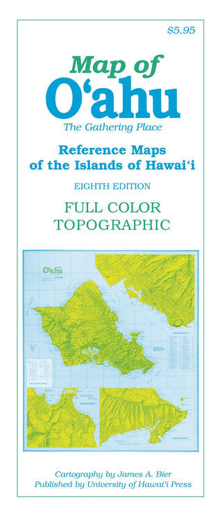
Features of the eighth edition of this full-color, topographic map of O‘ahu include: detailed road networks; large-scale inset maps of urban Honolulu, Waikīkī, Kāneohe-Kailua, and Kāhala-Makapu‘u; points of interest and historic importance, both natural and cultural; hiking trails, parks, and beaches; waterfalls, peaks, and ridges (with altitudes); and more than 1,960 place-names, with index. Hawaiian words are spelled with all diacritical marks—an exclusive feature. It is thoroughly researched with the cooperation of official state and county sources.
The O‘ahu map measures 25 x 29 inches when flat and is folded to approximately 4.25 x 9.625 inches.

