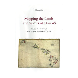
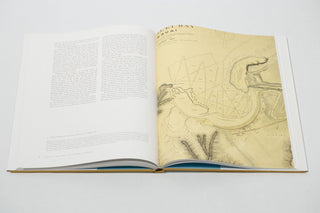
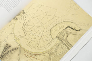
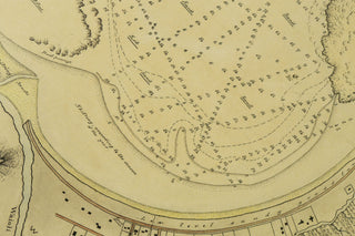
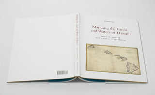
In 1870, the Kingdom of Hawai‘i faced a challenge: as a result of often poor surveying during the mahele process in the 1840s and 1850s, land records were chaotic. Uncertainty over boundaries and land ownership was a major hindrance to real estate sales, taxes, and the development of the kingdom's economy.
Under the direction of the young William DeWitt Alexander, a new government agency was established to take charge of surveying and mapping operations in the country. The Hawaiian Government Survey (1870-1900) was an ambitious undertaking for the period. Although comparable agencies were well established in Europe by then, even the United States had not yet created an agency whose mandate was to map the entire country.
Combining the best of a classical education, a pragmatic approach to problems, and a willingness to tackle rugged outdoor work in often miserable conditions, W. D. Alexander succeeded in shaping his small but dedicated staff into a mapping agency that achieved a remarkably high standard of proficiency. In doing so, Alexander made a decision that was both brave and wise, choosing not to emulate the work of European and American mapping agencies but to develop a uniquely Hawaiian approach to mapping the land.
The legacy of Alexander's agency lives on today, as virtually all real estate transactions in twenty-first century Hawai‘i may be traced back in one form or another to work done by the Hawaiian Government Survey. In the course of executing their mission, Alexander and his staff left another legacy as well: they captured cartographically the vestiges of the traditional Hawaiian system of land tenure. Employing and consulting Hawaiians when working in the field, the government surveyors documented ancient boundaries and names of land units and the features within them. Because so much of Hawaiian culture was rooted in the relation of people to the land, the preservation of that land system was an important component in the preservation of Hawaiian culture.
This volume, the third in a series that includes The Early Mapping of Hawai‘i and Surveying the Mahele, tells the story of how the Hawaiian Government Survey mapped the lands and charted the waters of the Kingdom of Hawai‘i.
_____
ABOUT THE AUTHORS:
Riley M. Moffat has worked in libraries for more than thirty years, as Director of Library Services for LDS Church Schools in the Kingdom of Tonga, as Map and Geography Librarian at Brigham Young University in Provo, Utah, and as Head of Reference at BYU in Hawai‘i for the past 18 years. He has graduate degrees in library science from the University of Hawai‘i and in geography and cartography from BYU-Provo. The author of several other books on old maps and population history, Mr. Moffat also teaches surfing and geography at BYU-Hawai‘i.
Gary L. Fitzpatrick worked in the Geography and Map Division of the Library of Congress for 33 years, retiring in 2004. In his last decade at the library he was responsible for identifying and acquiring the technology that led to the library's award winning web site of scanned historic maps. In addition to his interests in the mapping of Hawai‘i and the Pacific, Mr. Fitzpatrick has compiled several important reference books in his field and has taught at the University of Hawai‘i at Manoa.
_____
hardcover | 120 pages | 10.25" x 14.25" | color

