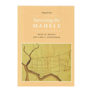
Many themes of modern Hawaiian history have their antecedents in a single historic episode—the mahele. In the 1840s, Kauikeaouli, or Kamehameha III, abandoned traditional Hawaiian land tenure in favor of the Western concept of private owner ship of property, an event second only to the arrival of the Europeans in its impact on Hawai‘i.
In the matter of a few years, Hawai‘i changed from a society in which the ali‘i ai‘moku, or king, served as steward of the land that belonged to the gods, to one in which he, the ali‘i, or nobility, and the maka‘ainana, or commoners, acquired outright ownership of land.
Surveying the Mahele is the second volume in the series Palapala‘aina,the first of which, The Early Mapping of Hawai‘i, was recognized as the outstanding book of 1985-1993 by Ka Palapala Po‘okela, the association of Hawaiian publishers, who honored it with the first Samuel Kamakau Award.
Surveying the Mahele examines the work of many important figures, including the few professional surveyors, such as William Webster, whose work in Hawai‘i was as fine as any in the world. It describes the efforts of many missionaries, including John Emerson and William Patterson Alexander, who used their surveying skills to help their parishioners acquire land under the new laws pass part of the mahele.
Surveying the Mahele presents the stories of notable Hawaiians, such as Samuel P. Kalama and John W. Makalena, who learned surveying from missionary teachers and applied their art during the mahele, and introduces the children of missionaries, including teenagers Curtis Jere Lyons and Henry Munson Lyman, who were drafted into surveying work and found themselves burdened with demands greater than those of most surveyors working in Hawai‘i today.
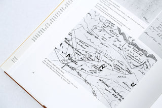
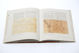
The book is lavishly illustrated with examples of mahele era land surveys that range in scope from single home sites to a plat of 100 hundred thousand acres.
Surveying the Mahele places the surveying work of the mahele era into historical context with the mapping of the islands that both preceded and followed it. By focusing on this single facet of the mahele, the book reveals how the complex disciplines of mapping and surveying, which reflect values of feudal European society that underlie modern concepts of land ownership, changed the destiny of Hawai‘i.
_____
ABOUT THE AUTHORS:
Riley M. Moffat is the Head of Reference in the Library at Brigham Young University Hawai‘i. He was formerly the Geography and Map Librarian at Brigham Young University in Provo, Utah and Director of Library Services for the LDS Church in Tonga. He holds Masters degrees in Library Science from the University of Hawaii and in Geography/Cartography from Brigham Young University.
In addition to contributing to The Early Mapping of Hawai‘i, Mr. Moffat is the author of Population History of Eastern U.S. Cities and Towns, 1790-1870, Printed Maps of Utah to 1900, and Map Index to Topographic Quadrangles of the United States, 1882-1940. For professional journals he has written about the national parks of Hawai‘i genealogical use of maps, and fire insurance maps of Hawai‘i. He is an assistant editor of the journal Pacific Studies. Mr. Moffat is married, has four children, and surfs in his spare time.
Gary L. Fitzpatrick has worked in map libraries for more than twenty-five years. He studied ge ography at U.C.L.A. and library science at Catholic University of America. Mr. Fitzpatrick is currently the Specialist in Geographic Information Systems in the Geography and Map Division of the Library of Congress.
In addition to having written The Early Mapping of Hawai‘i he is also the author of International Time Tables, Direct-Line Distances, and numerous articles and bibliographies. He has taught courses in map librarianship and geographic information at the University of Hawaii and Northern Virginia Community College.
_____
hardcover | 120 pages | 10.5" x 14.5" | color


